GEODETIC SERVICES IN MONTENEGRO We measure precisely, you build carefree.
Geopromet is a reliable partner for all surveying services,
with experience on more than 1,500 successfully implemented projects.
GEODETIC SERVICES IN MONTENEGRO We measure precisely, you build carefree.
Geopromet is a reliable partner for all surveying services,
with experience on more than 1,500 successfully implemented projects.
GEODETIC SERVICES IN MONTENEGRO We measure precisely, you build carefree.
Geopromet is a reliable partner for all surveying services,
with experience on more than 1,500 successfully implemented projects.
Who Are We?
LEARN MOREPrecision in Every Millimeter
Combining engineering expertise and cutting-edge technology, Geopromet delivers precise and reliable solutions for all types of geodetic challenges. Our team applies advanced methods of 3D laser scanning, digital terrain modeling, and cadastral surveying. Whether providing engineering supervision, object legalization, or support for large-scale investments, our goal remains unchanged: to deliver top-tier quality that brings complete security.
Our services
Our services
-
Saznaj više
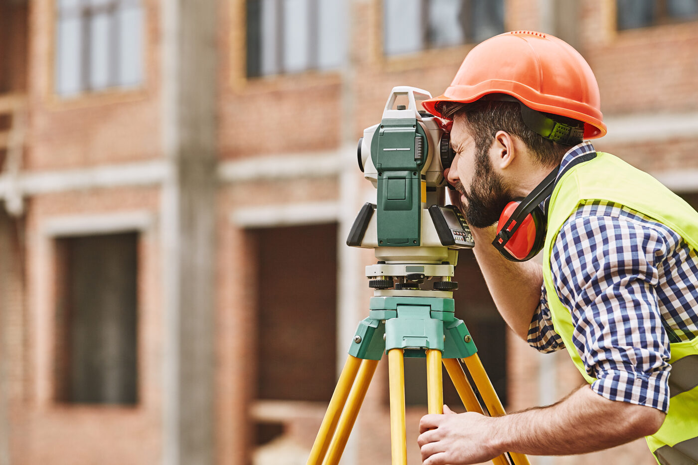
Precise tracking and measurement during the construction of all types of structures – from buildings and roads to bridges and tunnels. Our team uses modern equipment and methods to ensure accuracy, safety, and timely data for every project.
-
Saznaj više
Independent expert supervision of geodetic works throughout the entire construction process. We monitor structural geometry, verify stakeouts, and track layout deviations, ensuring the executed build precisely aligns with project design at every stage.
-
Saznaj više
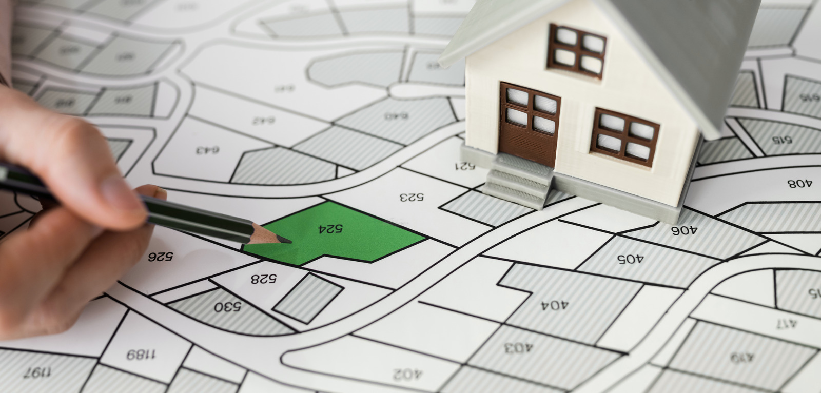
Cadastral surveying covers the precise mapping and recording of real estate, serving as the essential foundation for resolving property rights and protecting ownership. Aligning field conditions with official records guarantees complete legal security.
-
Saznaj više
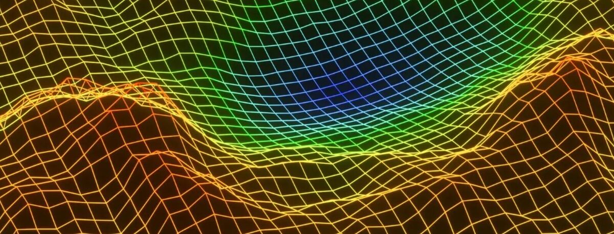
Digital terrain modeling creates an accurate three-dimensional representation of space. These models serve as a foundation for design, volume calculations, and slope analysis, allowing decisions to be made based on real field data.
-
Saznaj više
3D laser scanning captures millions of points in seconds, creating a fully accurate digital twin of any structure. The resulting output includes precise cross-sections, facades, and models ready for seamless integration into design software.
-
Saznaj više
We handle the complete legalization procedure – from mapping the existing condition and preparing technical elaborates to submitting documentation to the competent authorities. We guide clients through every step until the property is registered in the cadastre.
-
Saznaj više
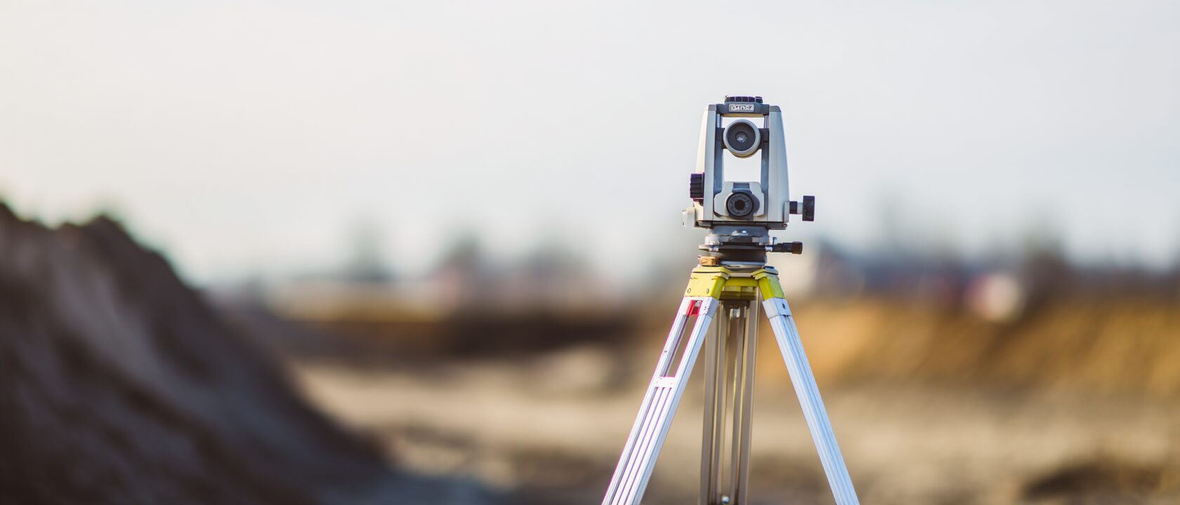
We offer field-tested geodetic equipment from leading manufacturers – total stations, levels, GNSS receivers, and accessories. Along with equipment sales, we provide full training, servicing, and technical support.

Geopromet
Precision and Reliability
Our technologies
Our technologies
-
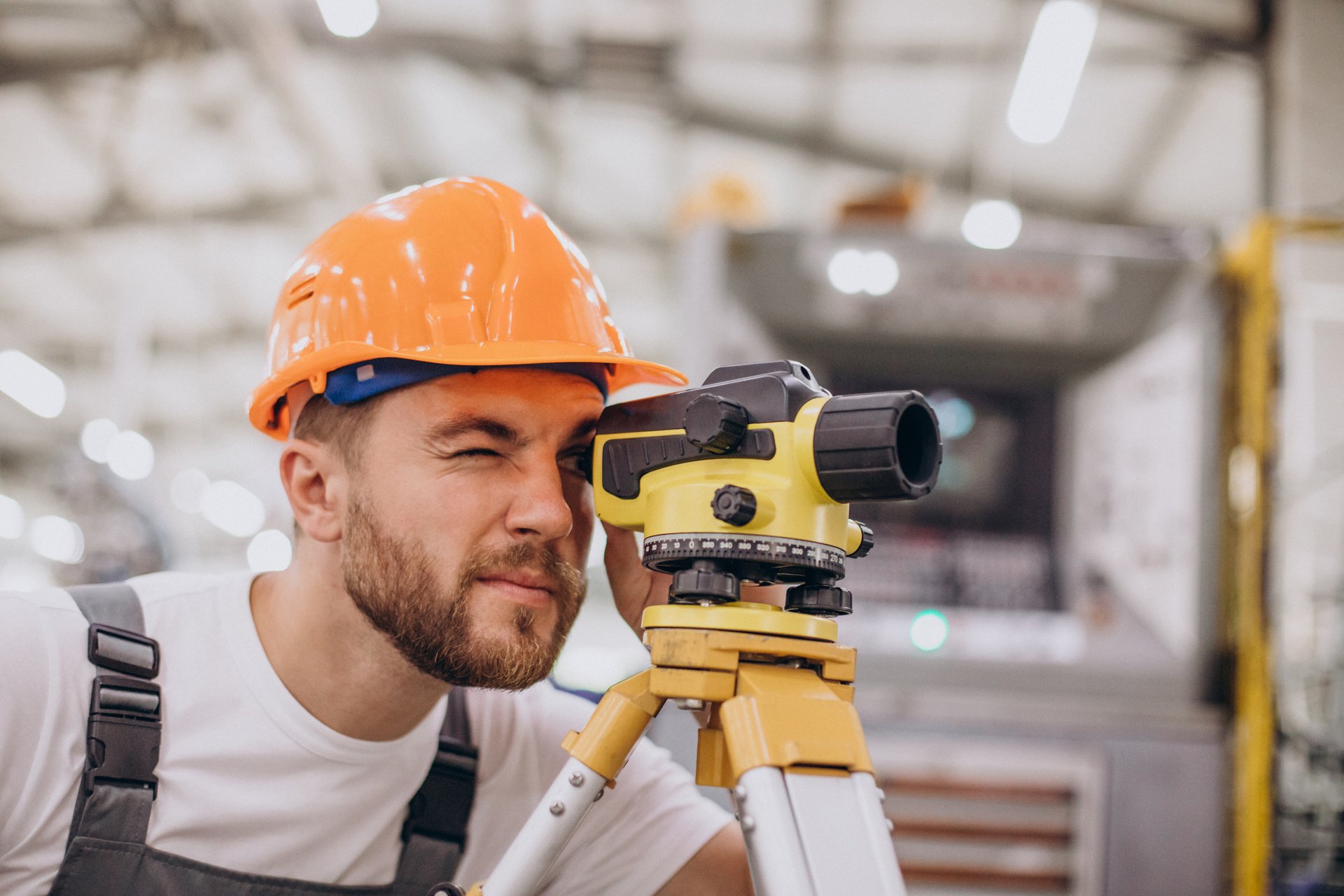
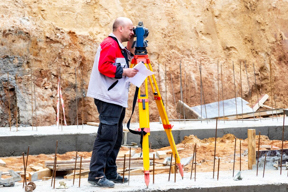
Geodetic surveying instruments form the foundation of all high-precision geodetic work. In our daily operations, we utilize modern measuring devices and probes to collect accurate spatial data in the field, which is essential for engineering geodesy, cadastral services, and geodetic supervision. Through meticulous measurement and data processing, we ensure reliable results that serve as a solid basis for planning, designing, and executing construction and infrastructure projects.
-
A digital terrain model converts measured points into an accurate three-dimensional representation of the space. Based on it, we calculate slopes, excavation and embankment volumes, plan route alignments, and verify drainage—well before heavy machinery hits the field. Models are delivered in formats ready for seamless integration into engineering design software, ensuring decisions are driven by real field data.
-
Laser scanning captures millions of points in just a few minutes, delivering an entirely accurate digital copy of any object. From the point cloud, we extract precise floor plans, cross-sections, and facades, document existing conditions prior to renovation, and monitor structural deformations over time—without requiring scaffolding or interrupting site operations.
Our results
Our results
0 +
YEARS OF EXPERIENCE
Continuous engagement in geodetic, cadastral, and engineering projects of varying complexity.
0 +
COMPLETED PROJECTS
Successfully executed assignments for private clients, corporations, and institutions at the highest standard.
0 +
SATISFIED CLIENTS
Reliable geodetic solutions and precise measurements that have driven successful project outcomes for our clients.
Our Offerings
Sales of Geodetic Equipment
Geopromet offers reliable geodetic equipment designed for precise and efficient measurements. Our equipment supports engineering, cadastral, and infrastructure projects, ensuring accuracy and security at every phase of work.