Since its founding in 2005, Geopromet d.o.o. has built its reputation on precision, innovation, and an unwavering commitment to quality. With over two decades of experience in the geodesy and engineering sector, we have become a trusted partner in Montenegro's most complex infrastructure projects. Our expertise transforms visions into reality, ensuring millimeter precision where it is needed most.
References
1. "Princess Ksenija" Highway
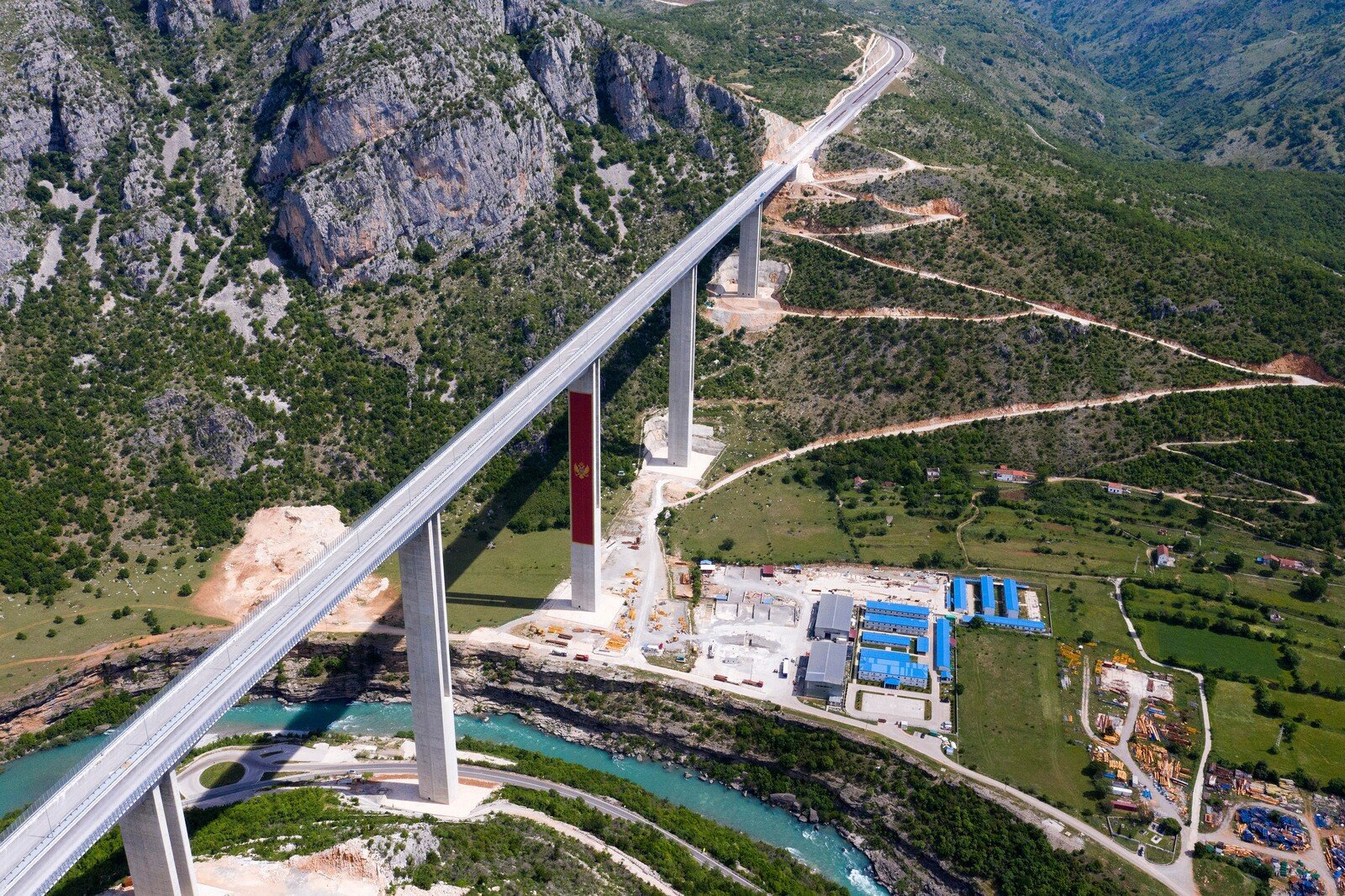
On the priority section of Montenegro's first highway, we were engaged in expert supervision tasks. Our responsibilities included continuous geodetic control of executed works along the route, bridges, and tunnels. A special focus was placed on compliance with the main project and the precise positioning of all structural elements. Through this complex project, we confirmed our ability to operate according to the strictest international standards. Effective communication with contractors contributed to a high degree of accuracy on-site.
2. Cartography and Bathymetry
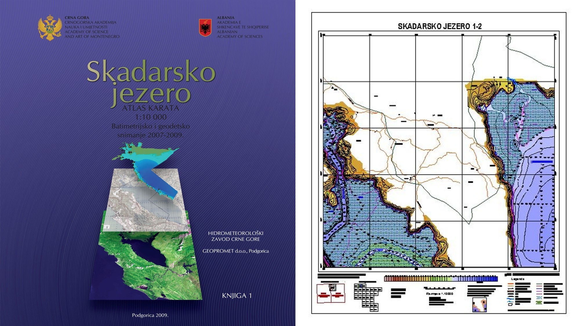
In cooperation with the Montenegrin Academy of Sciences and Arts (CANU) and the Institute of Hydrometeorology and Seismology of Montenegro, we created detailed bathymetric models of our lake beds. For Lake Skadar, an "Atlas of Maps" (1:10,000) was prepared, integrating surveys of the aquatic area and shoreline. At Lake Plav, using echo sounders and DGPS technology, we collected nearly 40,000 precise depth points. The obtained data and digital seabed models now serve as an official scientific basis for water resource management.
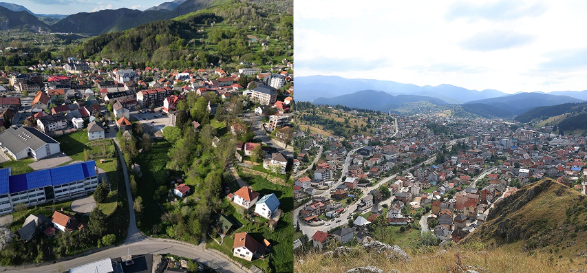
3. Wastewater Infrastructure Networks in Kolašin and Rožaje
We provided comprehensive surveying services for key wastewater infrastructure projects in Kolašin and Rožaje. In Kolašin, the works included detailed topographic surveying for the development of the Main Design of the sanitary sewerage system. In Rožaje, we successfully carried out geodetic measurements for the Main Design of the main collector and central pumping station, as well as the Conceptual Design for the connection to the Wastewater Treatment Plant (WWTP). Our engagement included precise terrain mapping, tracing of installations, and the preparation of high-accuracy digital base maps, thereby providing designers and investors with a flawless engineering foundation.
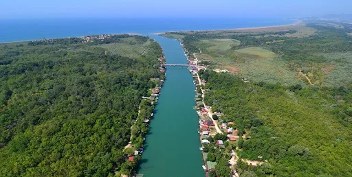
4. Reconstruction of the Embankment on the Right Bank of the Bojana River
Within the scope of this project, we carried out topographic surveying of the watercourse and existing embankments, which served as the basis for the preparation of the Geodetic Report as part of the Main Design. The scope of work included the establishment of a permanent network of operational traverse points for the construction phase, detailed mapping of the riverbanks, and surveying of cross-sectional profiles of the riverbed above and below water level. By combining precise field data with up-to-date cadastral base maps in the UTM34N coordinate system, we provided the investor with a high-accuracy digital base for seamless implementation and regulatory compliance.
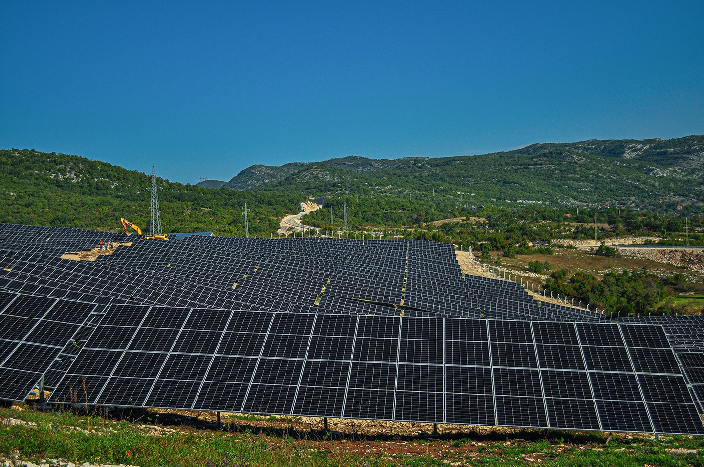
5. "Čevo Solar" Solar Power Plant
For the project of Montenegro's first active solar power plant, we provided full geodetic support across all implementation phases. Our engagement began with mapping geodetic bases for design and continued through monitoring all stages of construction and panel installation. Upon completion, we prepared an as-built design, which served as the basis for technical acceptance. The final step involved registering the facility in the real estate cadastre, ensuring the legal and technical grounding of the entire plant.
6. "Gvozd" Wind Farm
To support the realization of this wind farm, our focus was on the design and routing of access roads. Given the demanding mountainous terrain, it was necessary to precisely define routes that allow for the transportation of specialized equipment and turbines. Geodetic works included terrain surveying, staking out road axes, and slope control in accordance with the design. Timely terrain preparation was a prerequisite for a smooth installation start, and our contribution enabled efficient logistics for this major energy facility.

7. Geodetic Bases for Detailed Urban Plans (DUPs)
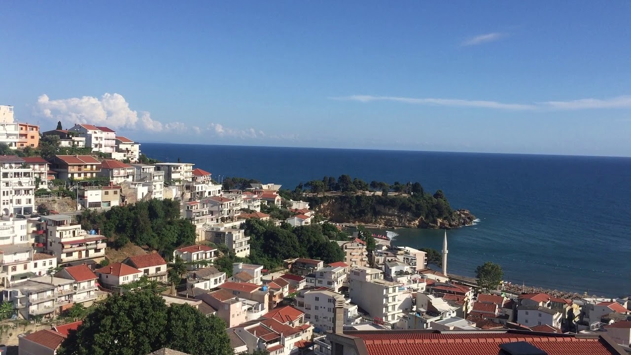
We have produced a large number of geodetic bases that served as the foundation for drafting Detailed Urban Plans (DUP). Our work covered surveying across the municipalities of Nikšić, Budva, Podgorica, Ulcinj, and Cetinje. Accurately surveyed data regarding the terrain and existing structures allowed urban planners to organize space effectively. These documents are key to legalizing structures and guiding further infrastructural development in urban cores. Consistency in data collection ensured the reliability of plans at all levels.
8. Monitoring of the "Otilovići" Dam
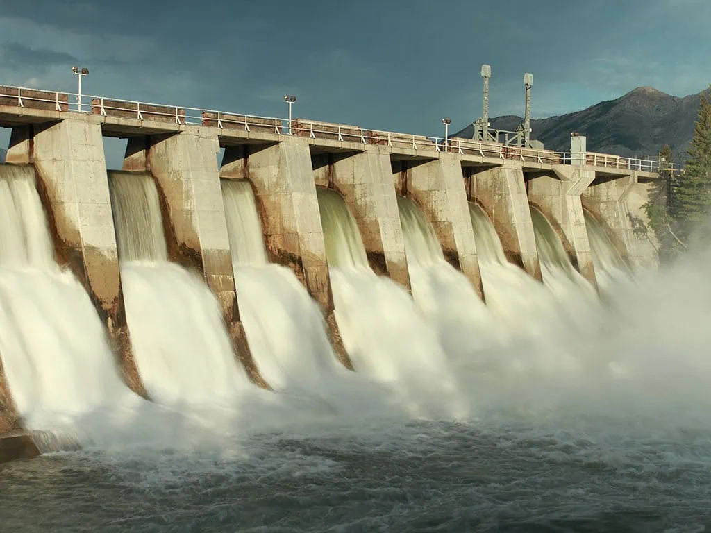
We regularly perform geodetic monitoring of the dam to track its stability and safety. Using high-precision methods, we measure vertical and horizontal displacements at key points of the structure. The results of these measurements are systematically processed and analyzed for the early detection of potential changes. This continuous process provides vital information for maintaining a critical hydro-technical facility, directly contributing to the safety of the entire system and downstream areas.
9. Road Reconstruction and Design
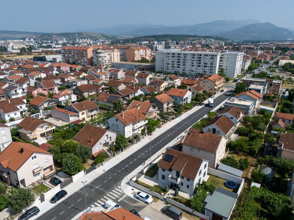
We actively participated in preparing spatial bases for the reconstruction and design of main, regional, and local roads. Our services include surveying current conditions, detailed mapping of all road elements, and preparing digital terrain models. We have worked on numerous sections across Montenegro, as well as on projects aimed at improving urban thoroughfares. A high-quality geodetic base enabled precise drainage design and enhanced traffic safety features.
10. Building and Civil Engineering Structures
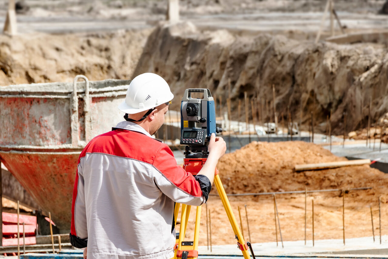
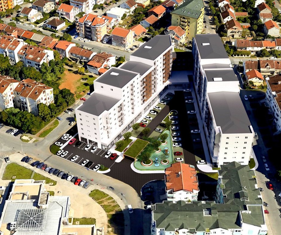
We execute all types of geodetic works for the construction and reconstruction of residential, commercial, industrial, and transportation structures. Our role spans from initial setting out and ongoing control during every construction phase to final surveying for technical acceptance. Experience with diverse structure types allows us to adapt quickly to site-specific demands. Regular geometric control helps prevent execution errors and facilitates the work of other trades.
11. Precision Facade Work
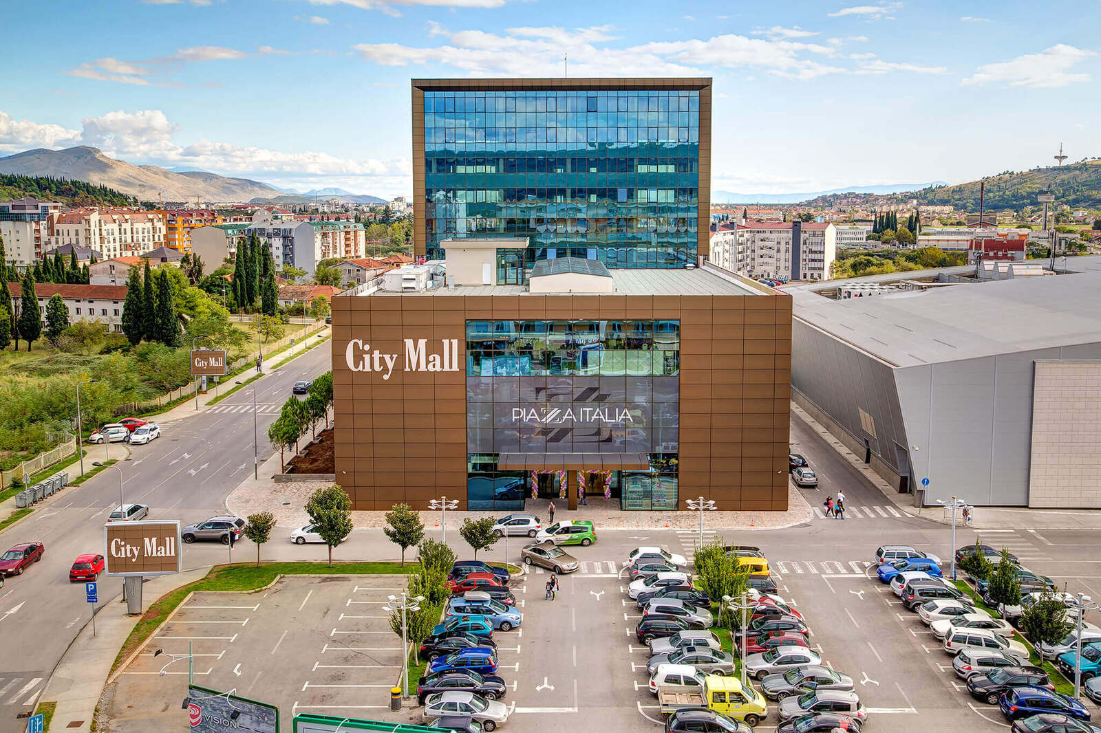
At the "City Mall" Shopping Center in Podgorica, we provided precise geodetic monitoring during the installation of metal structures for the glass facade. The unique demands of this task required millimeter accuracy when setting mounting brackets and facade elements. Continuous measurements ensured every segment was aligned to an ideal plane per the design. This approach was essential given the complex geometry and aesthetic requirements. Successful execution confirmed our capability to handle demanding architectural details.
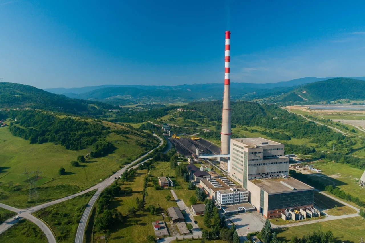
12. "Pljevlja" Thermal Power Plant
During the reconstruction of the chimney and plant facilities, we carried out complex geodetic operations under specific industrial conditions. Precisely positioning elements on high-elevation structures demanded specialized measurement methods and intense focus. Our work enabled the smooth installation of eco-remediation equipment and facility modernization. Participating in this project contributed to the technological upgrade of the country's most important energy hub, demonstrating our ability to deliver reliable geodetic support for complex industrial sites.