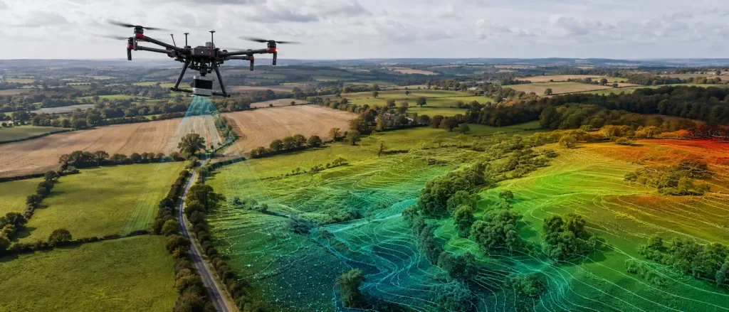
Precise 3D Spatial Visualisation
Digital terrain models provide a complete and precise three-dimensional visualisation of natural and man-made relief. Through advanced computer modelling, we turn surveyed field points into clear digital representations that are essential for modern design and spatial planning.
Geopromet uses state-of-the-art data collection equipment, including traditional surveying methods and advanced aerial surveying. Our models give engineers a safe and highly reliable basis for making key decisions at every stage of a project.