Preskoči na sadržaj

Digital Terrain Modeling (DTM)

Precise 3D Spatial Visualisation

Digital terrain models provide a complete and precise three-dimensional visualisation of natural and man-made relief. Through advanced computer modelling, we turn surveyed field points into clear digital representations that are essential for modern design and spatial planning.

Geopromet uses state-of-the-art data collection equipment, including traditional surveying methods and advanced aerial surveying. Our models give engineers a safe and highly reliable basis for making key decisions at every stage of a project.
  • Based on the 3D terrain model, we quickly and accurately calculate earthwork, excavation and fill volumes. This data allows developers to control costs precisely and optimise their budget before construction begins.

  • Our digital terrain models integrate seamlessly with modern BIM (Building Information Modelling) software. This gives designers an ideal digital base for fitting buildings into their natural surroundings.

  • The models enable advanced simulations, such as analyses of slope, sun exposure or potential water runoff paths. These assessments are invaluable for identifying flood or landslide risks before any building work starts.

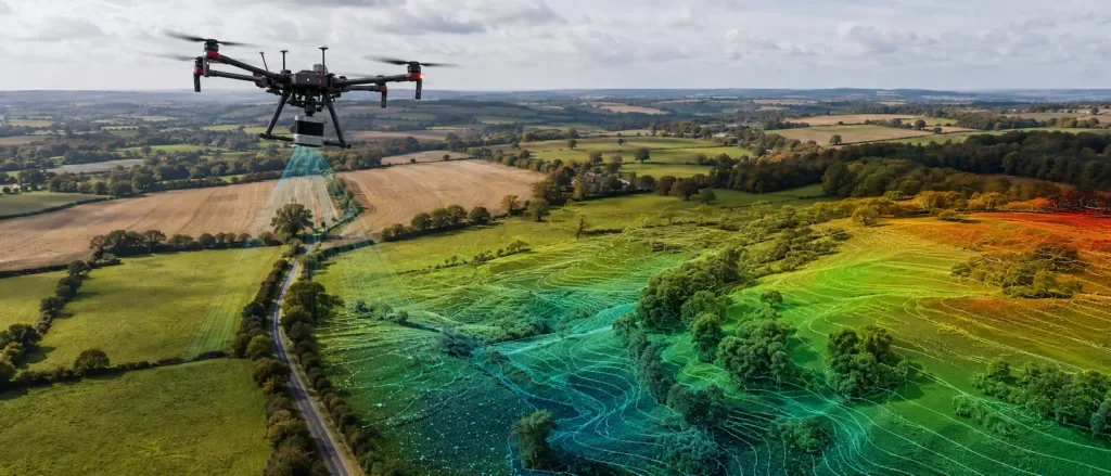
  • From the digital model, we automatically and flawlessly generate precise topographic plans with contour lines, as well as cross-sections and longitudinal profiles of the terrain. These drawings give engineers a clear picture of the terrain morphology across the entire site.

  • By combining surveying methods with drone imaging, we create detailed models of large and hard-to-reach areas in record time. The result is a high-resolution 3D terrain model that pairs millimetre accuracy with a realistic look.