Planning construction in Montenegro—given the specific configuration of our terrain, from the steep slopes of the coast to the karst regions of the north—requires much more than a basic paper drawing. This is where the Digital Terrain Model (DTM) comes into play.
In modern engineering, DTM has become the industry standard that saves money for investors and allows designers to work risk-free. Below, we explain why this model is the starting point for any secure investment.
What Exactly is a Digital Terrain Model (DTM)?
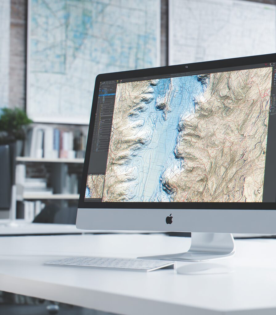
DTM is a digital 3D representation of the topographic surface of the ground. Unlike a traditional site plan that represents the terrain as a flat plane, a DTM creates a precise point cloud with X, Y, and Z (elevation) coordinates.
At Geopromet, using state-of-the-art GNSS systems and 3D laser scanning, we perform detailed surveys of every change in terrain relief. The collected data is processed in specialized software, allowing architects to position your future building in a virtual space that 100% matches reality.
4 Key Advantages of Using DTM in Design
-
Drastic Savings on Excavations and Embankments: Earthworks represent one of the largest unplanned costs in construction. Without an accurate elevation model, estimates of excavated volume can vary by up to 30%. DTM allows engineers to calculate mass volumes down to the millimeter, preventing unpleasant surprises on contractor invoices.
-
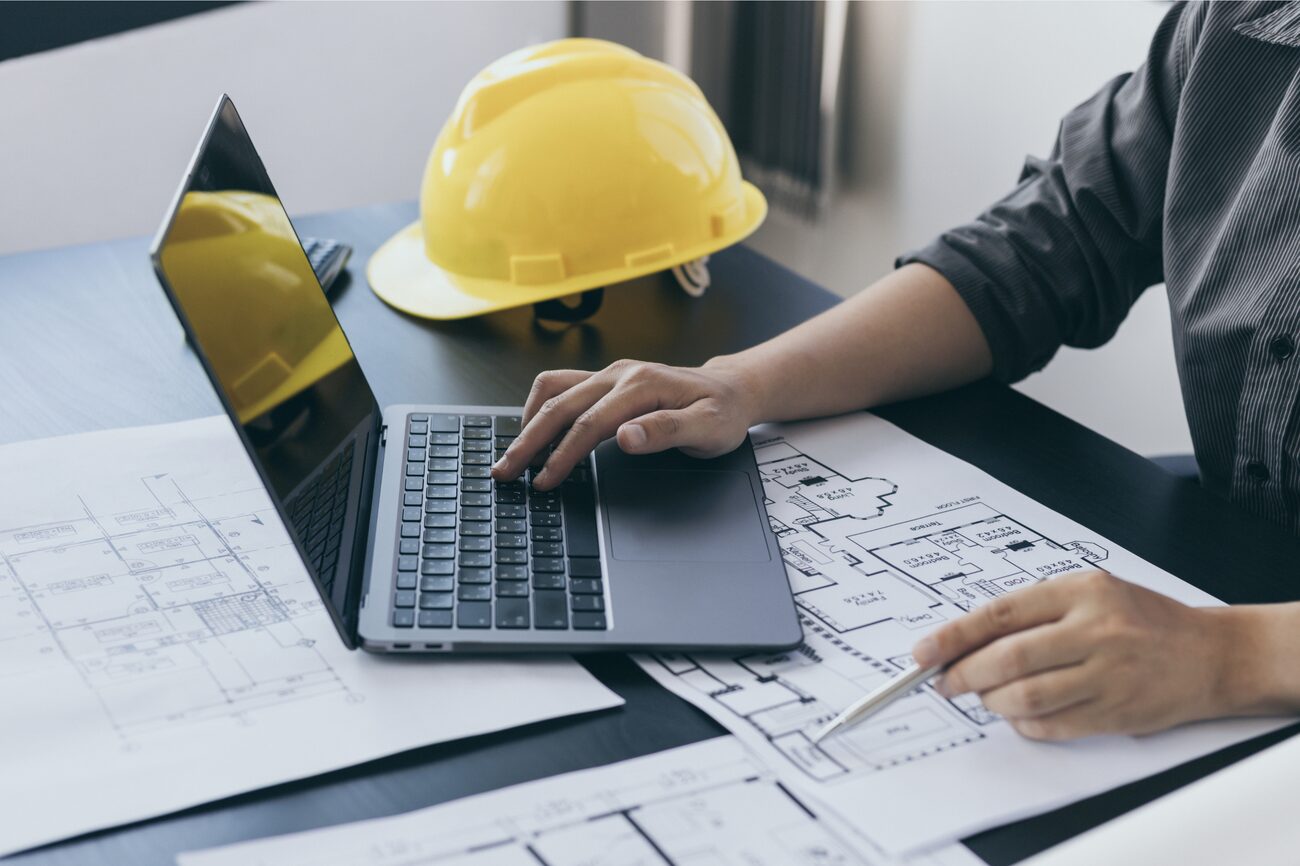
BIM Ready: Seamless Synergy with Architects: Modern architects and structural engineers work in software such as Revit or ArchiCAD. Our digital model integrates directly into their workflows. The result? The designer immediately identifies potential risks, sees where retaining walls are necessary, and optimizes design solutions before any field work begins.
-
Drainage and Runoff Solutions: In Montenegro, seasonal heavy rains are a frequent challenge for infrastructure. DTM enables precise analysis of stormwater watersheds. Based on the model, designers can properly size drainage systems and prevent future flooding of the plot or basement areas.
-
Accurate Visualization and Sunlight Analysis: Want to ensure your building will have the intended view rather than a view of your neighbor’s wall? The digital model allows for the simulation of sun positions at different times of day (sunlight analysis), as well as exact sightlines from every room before the first cornerstone is laid.
Deformation Monitoring: Structural Safety in Real Time
Beyond initial planning, DTM serves as the foundation for structural monitoring—tracking the stability of bridges, tunnels, and high-rise buildings. Regular measurements provide a clear picture of any potential shifts, significantly reducing the risk of structural damage, delays, and millions in unexpected costs. Properly executed monitoring helps preserve the structural integrity of the building and ensures long-term safety for its occupants.
Conclusion: An Investment That Pays Off at the Very First Excavation
The creation of digital bases complies with Montenegrin standards and the Rulebook on the Manner of Preparation, Content, and Certification of Technical Documentation for Building Construction (effective date: May 30, 2025). Hiring a professional team to create a DTM is not an expense, but the smartest upfront investment that prevents costly mistakes in later phases.
Don't let unforeseen excavation costs and earthworks compromise your budget—hire the professional team at Geopromet, secure a precise 3D base, and lay a solid foundation for the successful execution of your project.
Geopromet Team
We measure with precision, you build with peace of mind!